
FRANCHEMENT FORTS EXPERIENCE
Historical, military and architectural heritage.


Discover the Z-Card
The Z-Card contains all the practical information you need to prepare your visits in a handy mobile format. Available from Tourist Offices and information points.
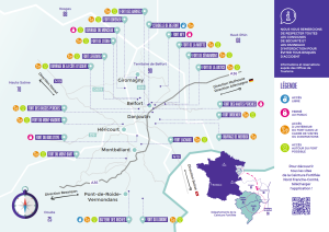
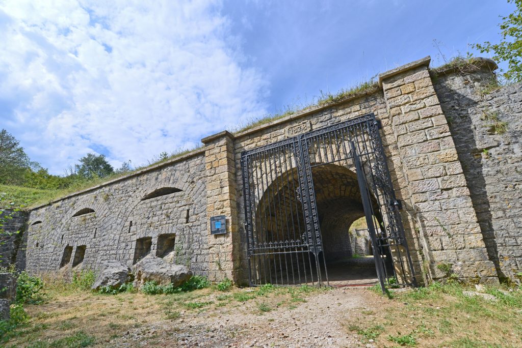
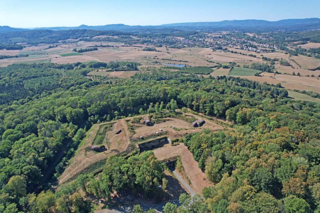
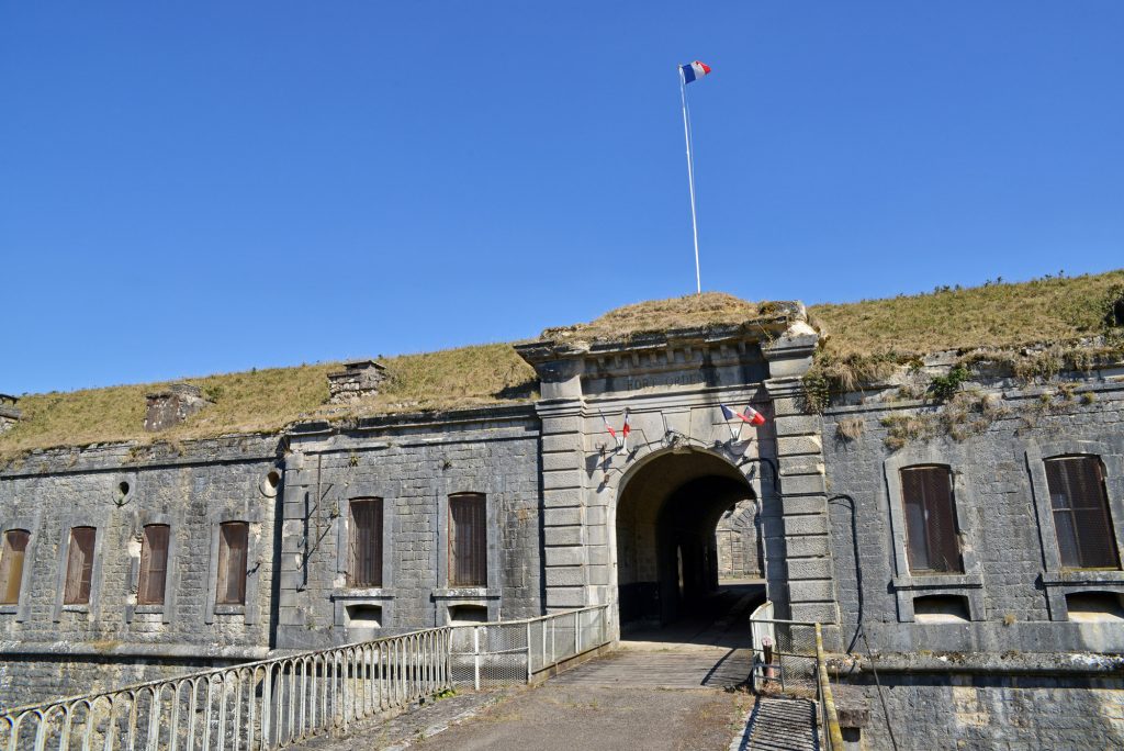
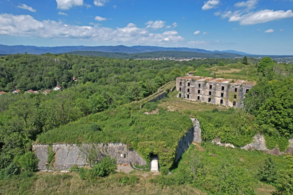
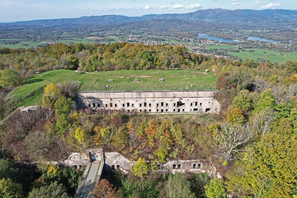
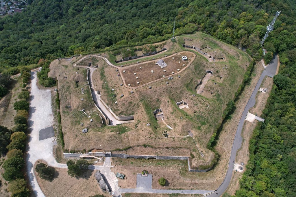
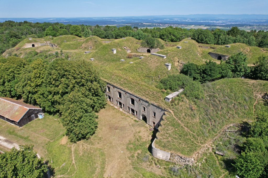
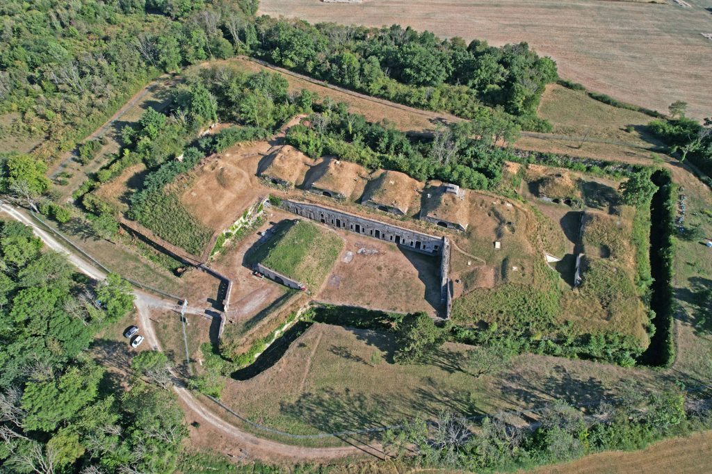
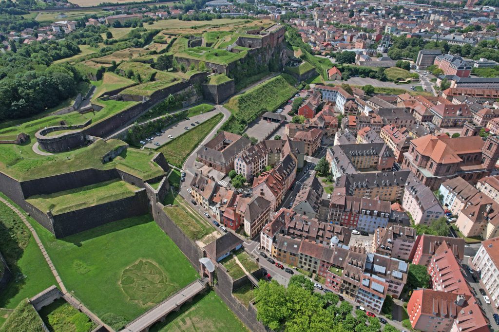
The Nord Franche Comté fortified belt
The fortified belt, built in Nord Franche-Comté at the end of the 19th century by General Séré de Rivières is a strong marker of our

28 July - 02 August
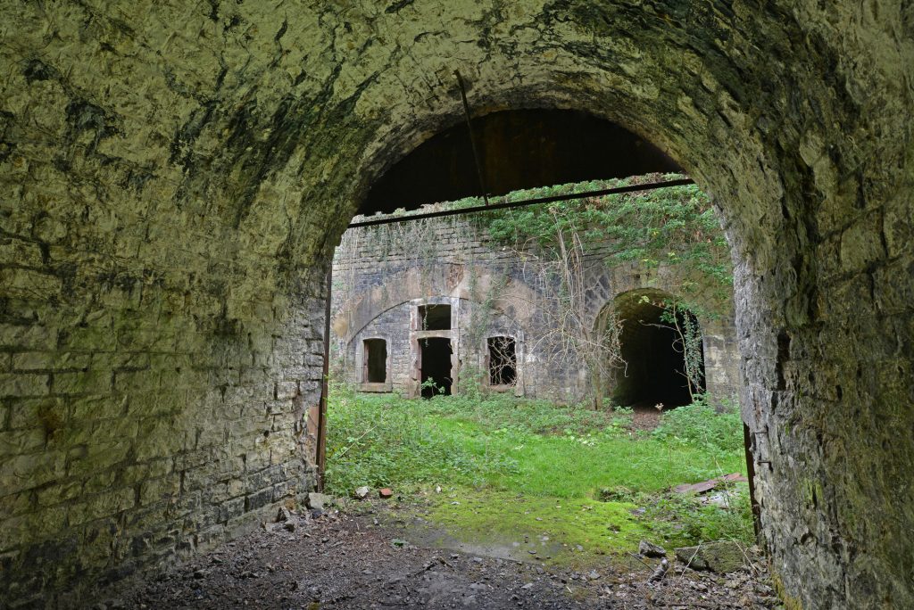
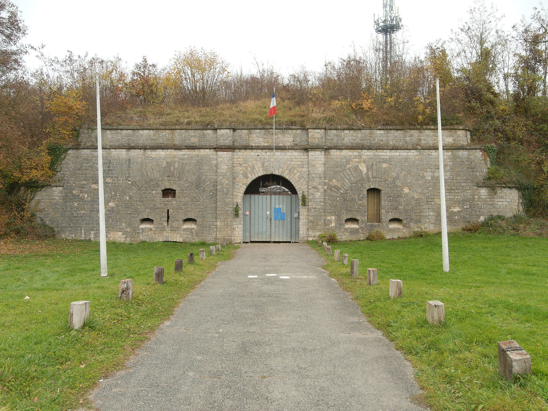
Fort du Mont-Bart
Fort du Mont-Bart
Bavans
01 August
Fort du Bois-d'Oye
Visite of the fort de Bermont
Bermont
02 August
Fort Sénarmont
Fort de Bessoncourt
Bessoncourt
No event found!