NATO
Fort
Accueil > NATO Fort
Where?
- D4, 90000 Belfort
- 47.65994, 6.81929
When?
-
Guided tours only
Recommended for children aged 14 and over
In French only
Prices
-
Adult price: 7€
Free for children under 10
Contact
- association.atomes@gmail.com
- https://fort-otan.com/
Social networks
ITS HISTORY
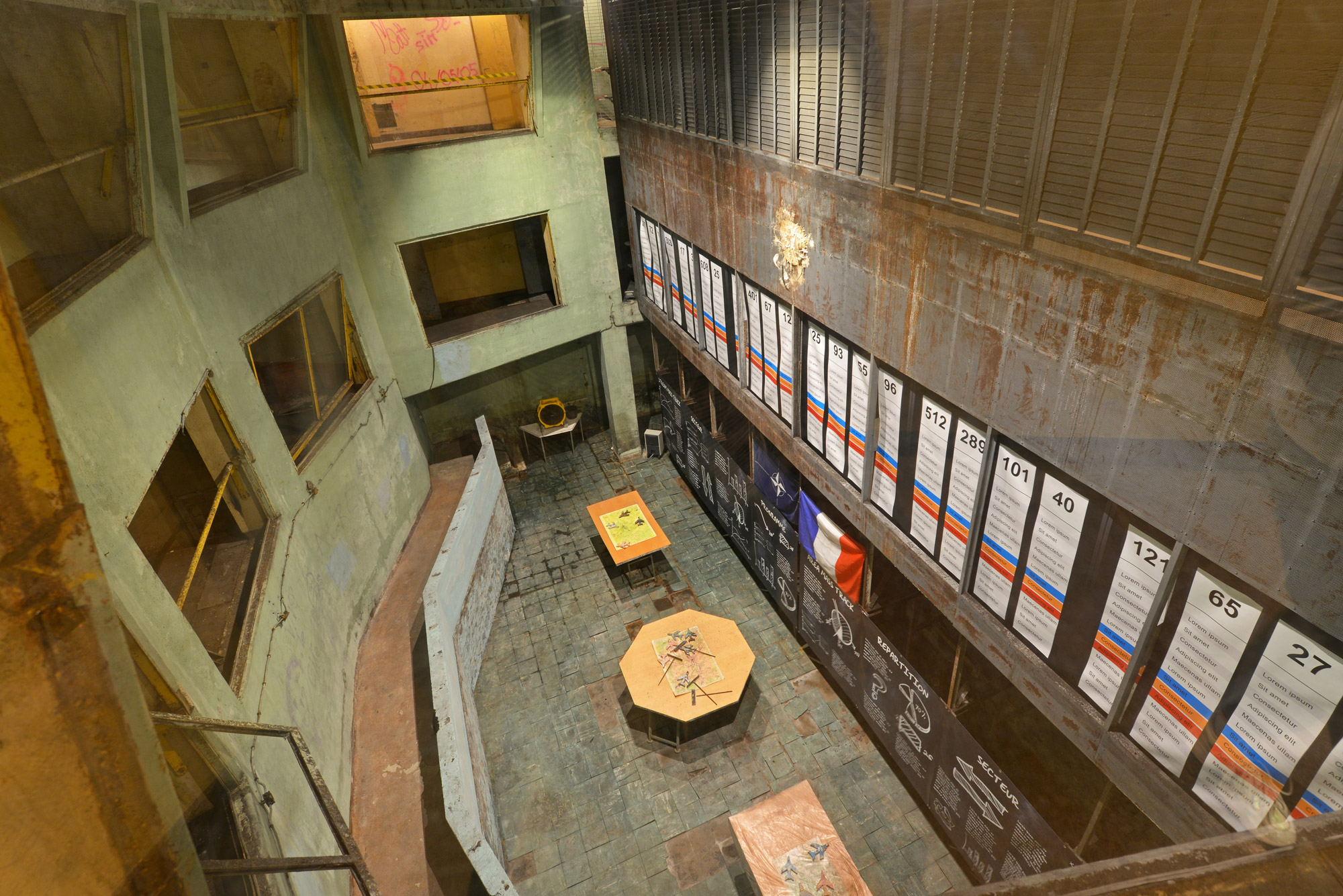
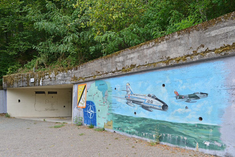
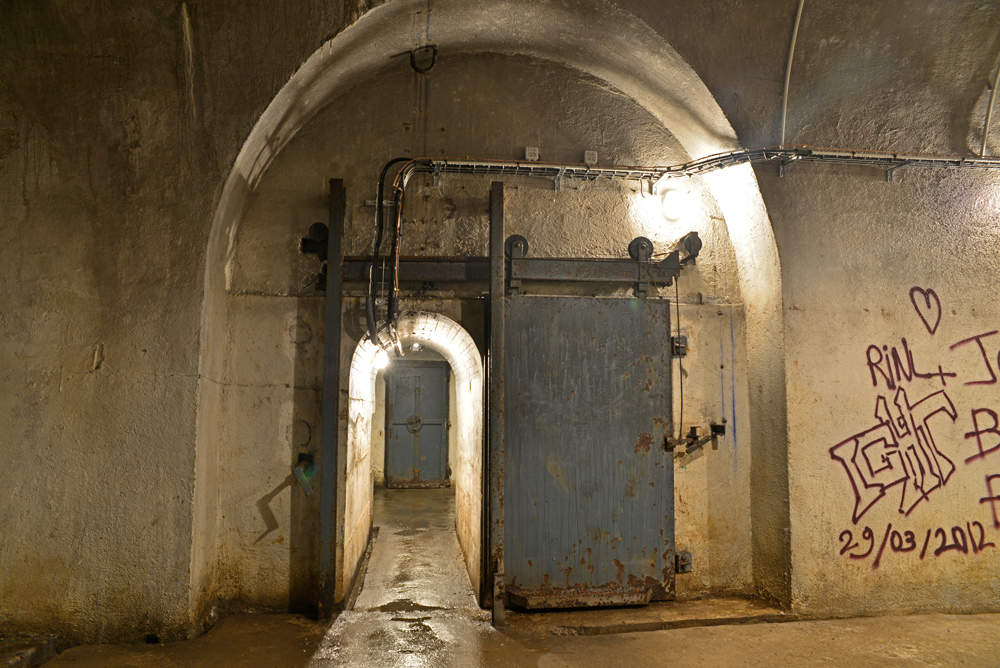
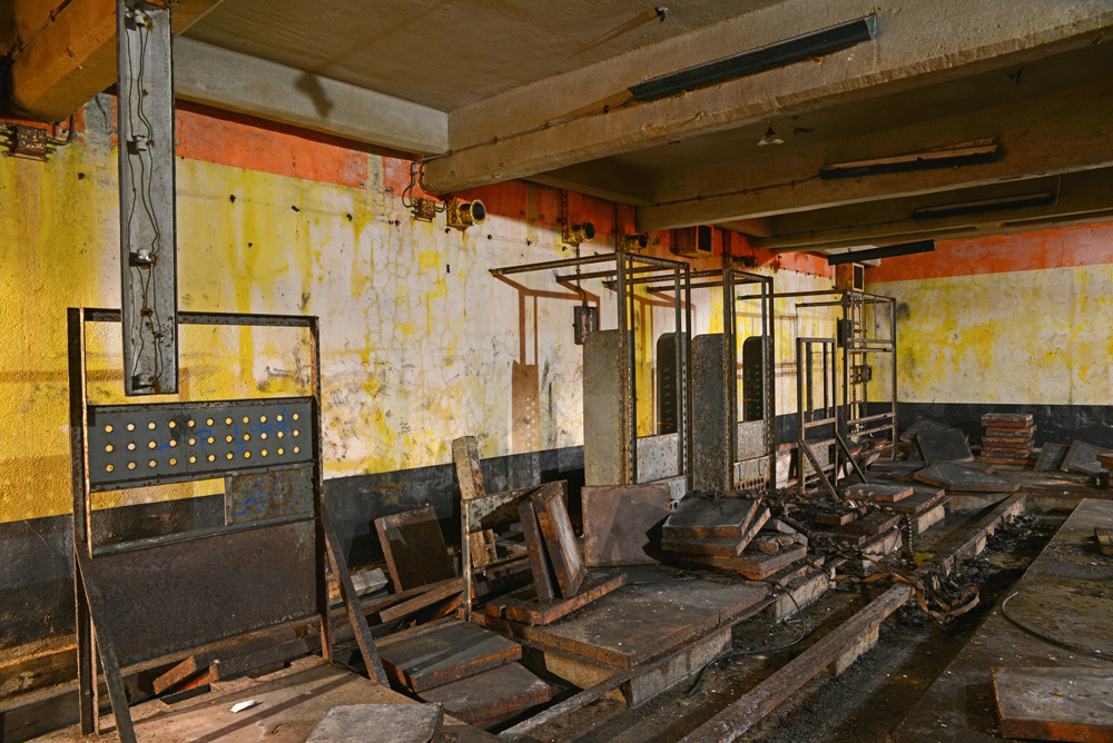
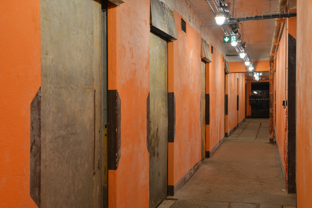
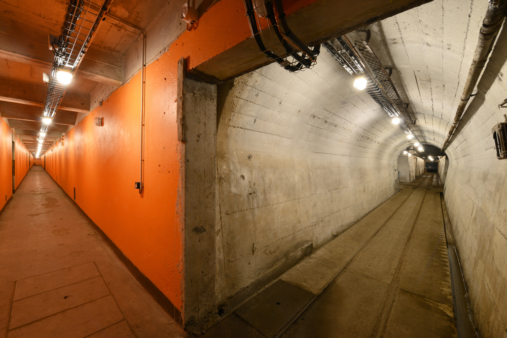
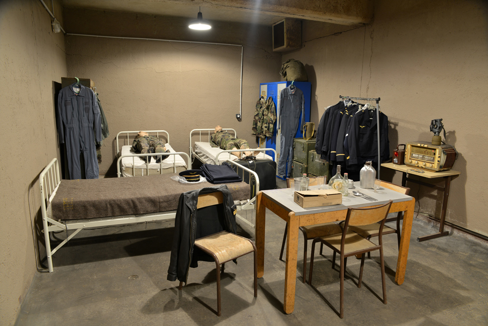
Between 1953 and 1958, the French air defence system built a number of radar stations, including one on the Salbert hill in Belfort. Its name is Building “G”, but it is also commonly known as the NATO fort. Located 100 m below Fort Lefebvre, it was an extension and modernisation of three caverns that formed part of Fort Salbert. Building ‘G’ was an ancillary detection centre with seven radar antennae located on the fort itself.
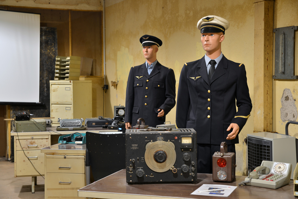
The soldiers in the NATO fort were given the nickname “the aviators” by the people of Belfort. Around 500 “aviators” lived in the complex. The building was equipped with an air recycling system and oil-fired central heating. The heating oil tanks can still be seen. It was self-sufficient in water and energy for 3 to 4 months. In 1972, the summit of Salbert hill came into the possession of the town of Belfort and it was turned into a place for walks and picnics. The radar antennae were dismantled but their bases are still visible, albeit covered in earth.
In the second half of the 90s, an association called Les aventuriers de l’histoire was set up, with funding from the town of Belfort, to safeguard and promote the building. The site deteriorated over time, making it dangerous and inaccessible for years. n 2016, the ATOMES association was set up, with the primary aim of restoring the Nato fort and making it accessible to visitors again. The association currently offers a range of guided tours.
Photo gallery
Location
Labels
Share on social networks